UN
13 Calveley Close
£ 135,000
Description
We don't have a Description for this property.
- Bedrooms
- 3
- Bathrooms
- 0
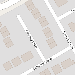
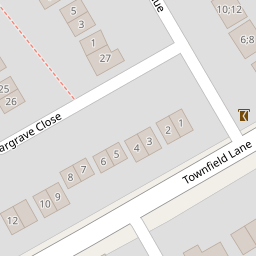
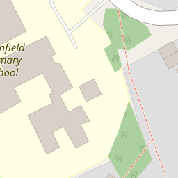
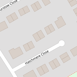


Leaflet © OpenStreetMap contributors
The heatmap indicates the level of crime in the area. The color of the heatmap indicates the crime severity and recency.
Metrics Year-on-Year
- Average area value
- 416,667.00 £Increased by 57.08 %
- Average area rental value
- 735.00 £/moDecreased by 0.41 %
- Est rental Yield
- 2.12 %Decreased by 36.53 %
- Crime Rate
- 9.00 %Unchanged by 0.00 %
from 265,251.00 £
from 738.00 £/mo
from 3.34 %
from 9.00 %
Nearby Schools
| Name | Type | Ofsted | Distance |
|---|---|---|---|
| Townfield Primary School | Academy Converter | Good | 0.20 KM |
| Birkenhead School | Other Independent School | 1.16 KM | |
| Prenton Children'S Centre | Children's Centre Linked Site | 1.26 KM | |
| Ridgeway High School | Foundation School | Requires improvement | 1.30 KM |
| Oxton St Saviour'S Cofe Aided Primary School | Voluntary Aided School | Good | 1.36 KM |
Images
Nearby Streets
| Name | Average Price | Average Sqft | Distance |
|---|---|---|---|
| Hargrave Avenue | £ 155,000 | 0 | 0.00 KM |
| Stretton Close | £ 250,000 | 0 | 0.00 KM |
| Redwood Close | £ 0 | 0 | 0.00 KM |
| OvertonClose | £ 250,000 | 0 | 0.00 KM |
| Budworth Road | £ 0 | 0 | 0.00 KM |
Nearby Transport
| Name | NLC | TLC | Distance |
|---|---|---|---|
| Upton (Merseyside) | 2141 | UPT | 2.67 KM |
| Birkenhead North | 2145 | BKN | 3.10 KM |
| Birkenhead Park | 2220 | BKP | 3.40 KM |
| Bidston | 2136 | BID | 4.02 KM |
| Conway Park | 3624 | CNP | 4.71 KM |
Nearby Listings
| Address | Price | Type | Score | Distance |
|---|---|---|---|---|
| Hargrave Close, Prenton, Merseyside, CH43 | £ 200,000 | BUY | 7 / 10 | 0.12 KM |
| Oulton Close, Prenton, CH43 | £ 210,000 | BUY | 6 / 10 | 0.18 KM |
| Hargrave Avenue, Prenton, Wirral | £ 190,000 | BUY | 7 / 10 | 0.18 KM |
| Oulton Close, Prenton | £ 239,950 | BUY | 7 / 10 | 0.19 KM |
| Davenham Avenue, Prenton, Wirral | £ 250,000 | BUY | 7 / 10 | 0.21 KM |
Nearby Properties
| Address | Price | Distance |
|---|---|---|
| 31 Calveley Close | £ 54,000 | 0.00 KM |
| 6 Calveley Close | £ 143,000 | 0.00 KM |
| 9 Calveley Close | £ 175,000 | 0.00 KM |
| 29 Calveley Close | £ 117,000 | 0.00 KM |
| 13 Calveley Close | £ 135,000 | 0.00 KM |